Description
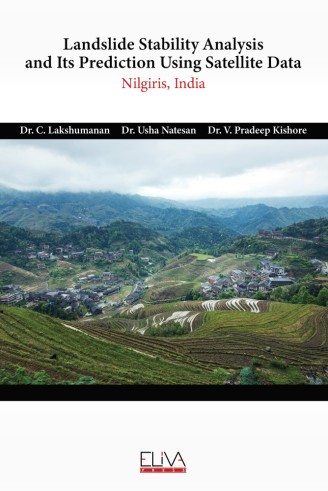
The Nilgiris District is situated in the Western Ghats. Udhagamandalam popularly called, as Ooty is the Queen of Hill Stations in India. The economic activities of this district are accelerated by the visit of tourists to a considerable extend which increase the income capacity of the people engaged many fields. The Nilgiris is an ancient land mass thrust upwards at the junction of the two major mountain ranges near the southern end of India some 70 million years ago. 57% of the surface of the Nilgiri hills rises over 1000 m above the Mean Sea Level (MSL) and 47% of that towers over 1800 m with the pinnacle formed by the big mountain at 2670 m. Present study aims to understand the functions of landslides and identify vulnerable zones in Nilgiris with hydrological variables using Remote Sensing and GIS, Also, the study focuses to develop landslide prediction models and Digital Elevation Model (DEM) based landslide stability analysis to identify the unrevealed or hidden landslide occurrences area. Suggestions are given for management and preservation of the Hill areas (study area) on sustainable basis.


